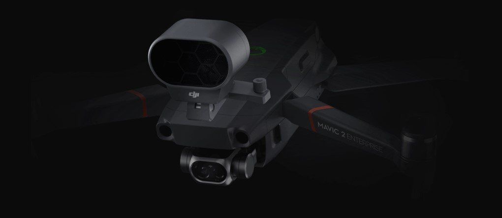
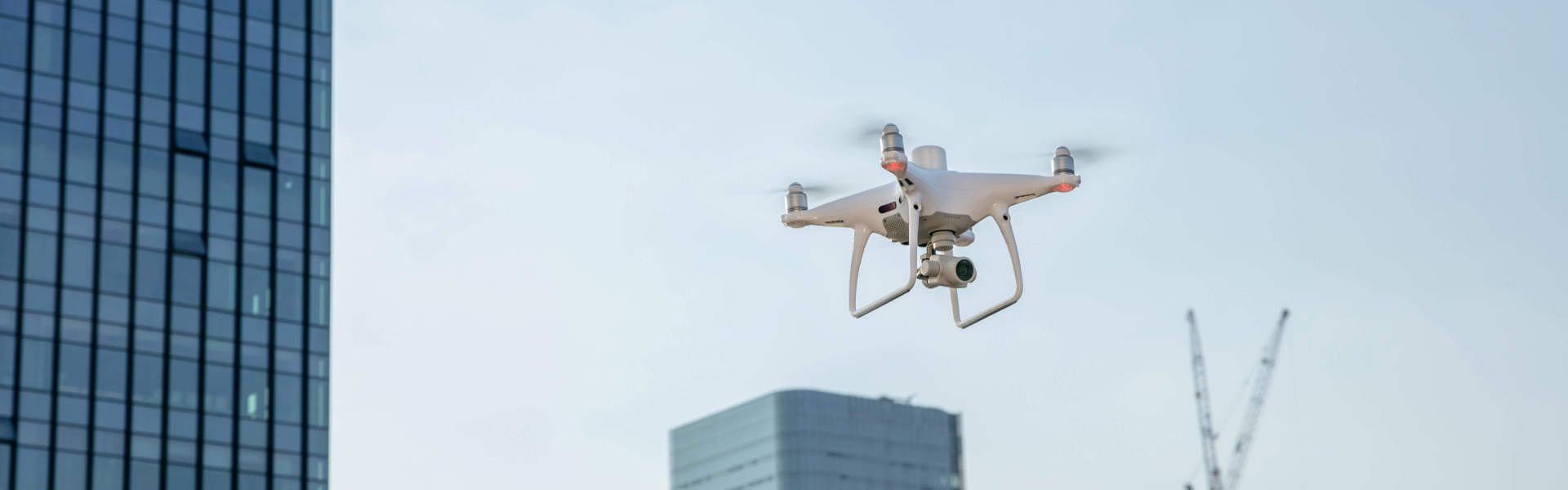
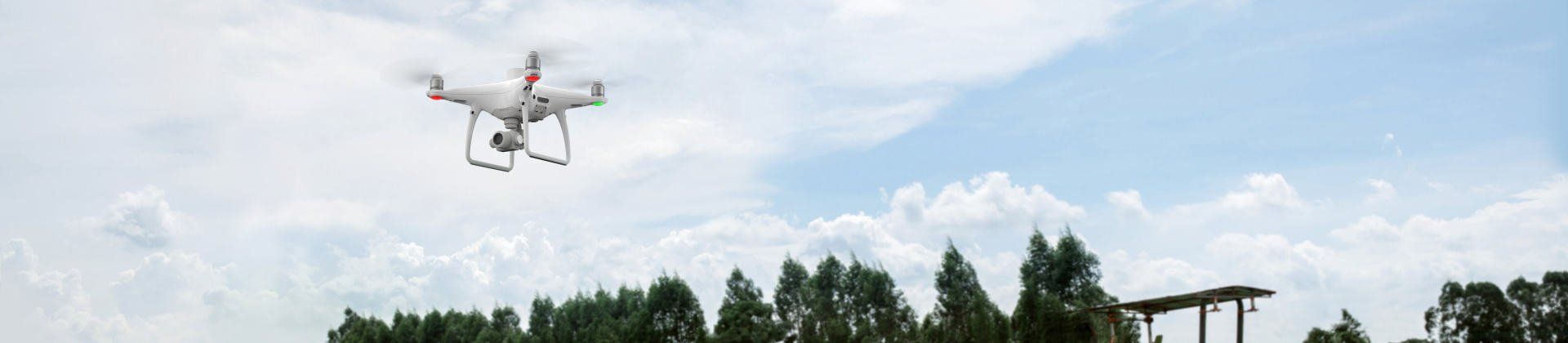
DJI Mavic Enterprise
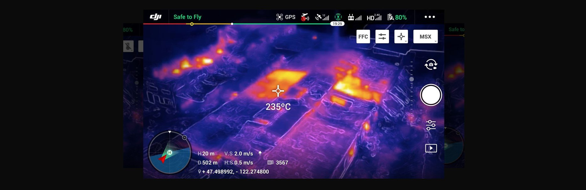
The new DJI Mavic 2 Enterprise Dual comes with both a standard RGB sensor and an integrated FLIR branded radiometric thermal sensor.
This makes it the most powerful, flexible Mavic that DJI have ever produced.
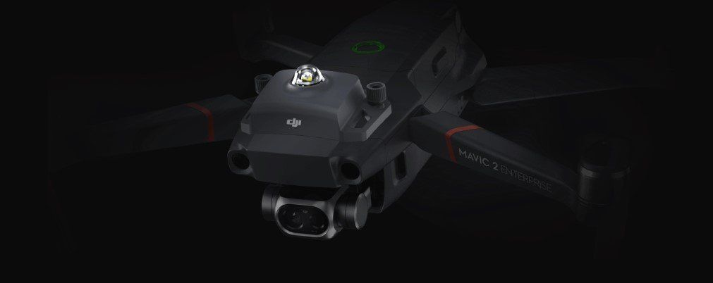
The Mavic 2 Dual provides commercial drone pilots with the ability to see both standard RGB images and radiometric thermal data.
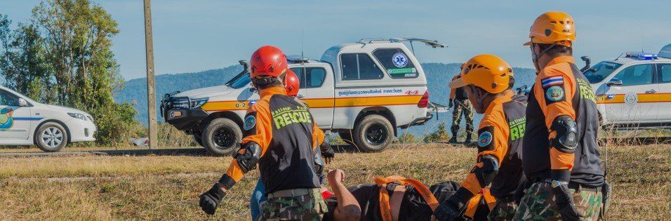
Pilots can measure temperatures and immediately store thermal data. This gives you the ability to make decisions more quickly and ensure the safety of the public and their property.
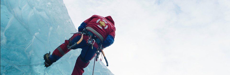
The range of data the DJI Mavic 2 Enterprise Dual can capture makes it useful in a wide range of commercial, industrial and emergency scenarios.
All of this is available at a price point that makes the Dual a “must have” for commercial drone operators and emergency services


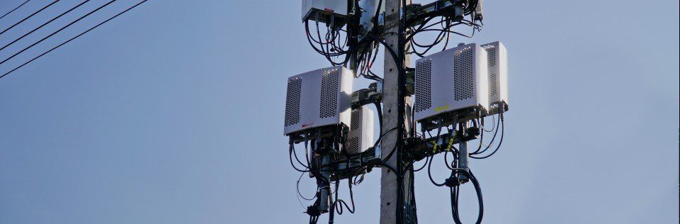
Do More Across a Range of Applications


DJI Enterprise Dealer Belfast Northern IrelandContact us Today
Phantom 4 RTK
Phantom 4 RTK - Two planning modes are available alongside a traditional flight mode, which allows you to select the drone’s flight path while adjusting overlap rate, altitude, speed, camera parameters and more.

1cm+1ppm
RTK Horizontal Positioning Accuracy

1.5cm+1ppm
RTK Vertical Positioning Accuracy
5cm*
(*When flying at 100m height, 2.7cm GSD, sunny.)
Absolute Horizontal Accuracy
of Photogrammetric Models
The Perfect Flying Companion
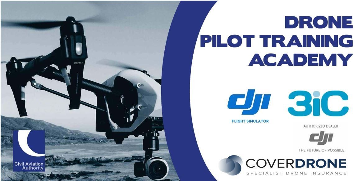
The innovative drone platforms with Drone Pilot Training Academy will help empower your organisation’s needs.
The DJI Enterprise drones utilise a range of platforms to improve the efficiency, safety and accuracy of how your business or organisation operates.
You will find our drones easy to operate, durable in difficult conditions, able to operate at an impressive range and capable of flying for good lengths of time.

Centimeter-Level Positioning System
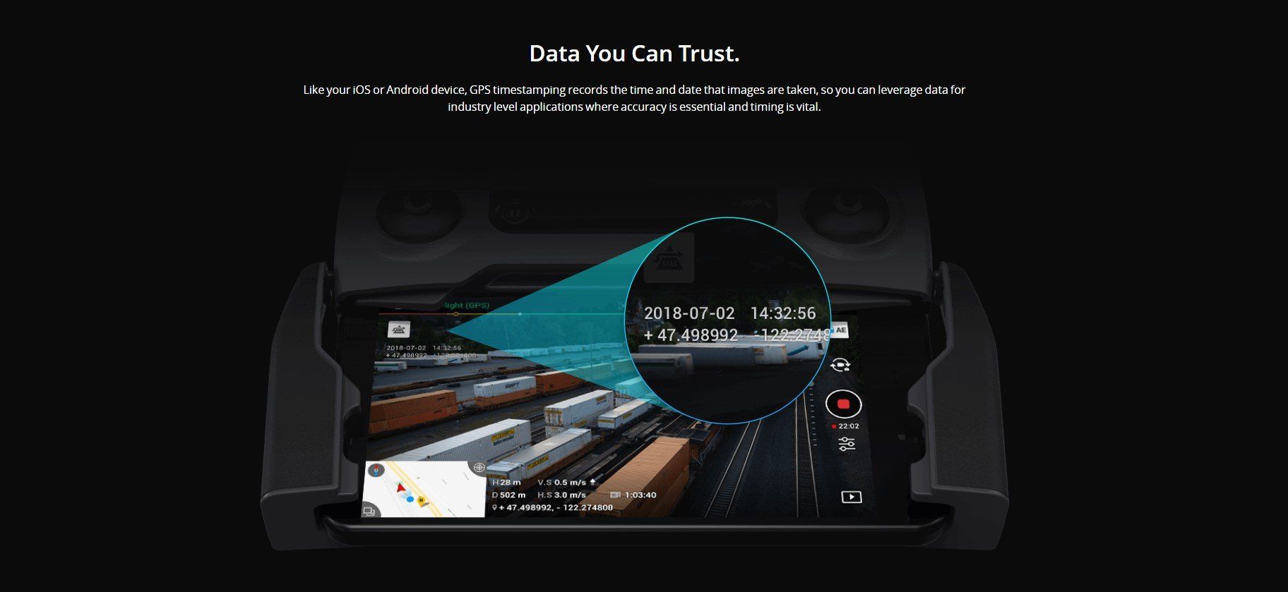
A new RTK module is integrated directly into the Phantom 4 RTK, providing real-time, centimeter-level positioning data for improved absolute accuracy on image metadata. In addition to optimized flight safety and precise data collection, the Phantom 4 RTK stores satellite observation data to be used for Post Processed Kinematics (PPK), which can be conducted using DJI Cloud PPK Service*. Fit the Phantom 4 RTK to any workflow, with the ability to connect this positioning system to the D-RTK 2 High Precision GNSS Mobile Station, or NTRIP (Network Transport of RTCM via Internet Protocol) using a 4G dongle or WiFi hotspot.
*.DJI Cloud PPK Service is currently available in Europe and China. Support for other regions is coming soon.

Gather Accurate Data with TimeSync
To take full advantage of the Phantom 4 RTK’s positioning modules, the new TimeSync system was created to continually align the flight controller, camera and RTK module. Additionally, TimeSync ensures each photo uses the most accurate metadata and fixes the positioning data to optical center of the lens – optimizing the results from photogrammetric methods and letting the image achieve centimeter-level positioning data.


Precise Imaging System
Capture the best image data with a 1-inch, 20-megapixel CMOS sensor. Mechanical shutter makes mapping missions or regular data capture seamless as the Phantom 4 RTK can move while taking pictures without the risk of rolling shutter blur. Due to the high resolution, the Phantom 4 RTK can achieve a ground sample distance (GSD) of 2.74 cm at 100 meters flight altitude.To ensure each Phantom 4 RTK offers unparalleled accuracy, every single camera lens goes through a rigorous calibration process, with parameters saved into each image’s metadata, letting post-processing software adjust uniquely for every user.
Contact us today for more details
Contact Us
Purpose-Built Application
A new DJI GS RTK app and Remote Controller with built-in screen, giving users a streamlined control scheme for surveying missions and other data acquisition scenarios.The GS RTK app allows pilots to intelligently control their Phantom 4 RTK, with multiple planning modes, including Photogrammetry (2D and 3D), Waypoint Flight, Terrain Awareness, Block Segmentation*, and more. Users can also import KML/KMZ files to optimize the workflow for their missions.With the built-in screen, pilots can clearly view and plan their missions on an ultra-bright, 5.5-inch HD display.
*In some countries, local regulations do not permit Multi-Aircraft Control when executing Block Segmentation missions or require special approval. Please consult and follow the applicable rules wherever you operate.