Robert Dobbin – Drone Pilot, qualified using the DJI Mavic 2 Enterprise Dual thermal imaging drone for searching for lost dogs and roof surveys in County Down, Northern Ireland.
Lost Dog Searches & Thermal Roof Surveys – Drone Services Co Down
When to Contact a Drone Search Pilot
If your dog goes missing, time is critical. The best chance of locating a dog is within the first 24–72 hours, before it travels further or finds long-term shelter.
After around one week, searches become significantly more difficult, as dogs may:
Move further away from the original location
Find dense cover or sheltered rural areas
Reduce movement during daylight hours
Become harder to track visually from the ground
For this reason, it is strongly recommended to contact a thermal drone search pilot as early as possible — ideally within the first few days of your dog going missing.
Early contact allows for:
Faster area mapping
Better use of recent sightings
More effective thermal detection
Higher chance of successful recovery
Recommended Action Timeline
0–24 hours: Immediate ground search + local alerts
24–72 hours: Expand search area + contact drone support
3–7 days: Urgent drone thermal search recommended
After 7 days: Search becomes more complex and less predictable
💡 Important Note
This is a voluntary search support service in County Down, and early contact significantly improves the likelihood of locating a missing dog before it travels too far or becomes fully concealed.
Roof Surveys and Search & Rescue Across Northern Ireland
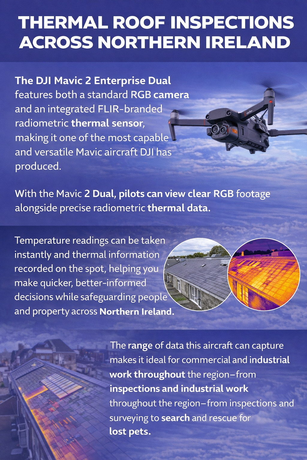
The DJI Mavic 2 Enterprise Dual combines a high-resolution RGB camera with a FLIR-branded radiometric thermal sensor, making it a highly capable platform for professional drone operations.
With dual imaging technology, it allows both clear visual footage and accurate thermal data to be captured in real time, supporting more informed and efficient assessments.
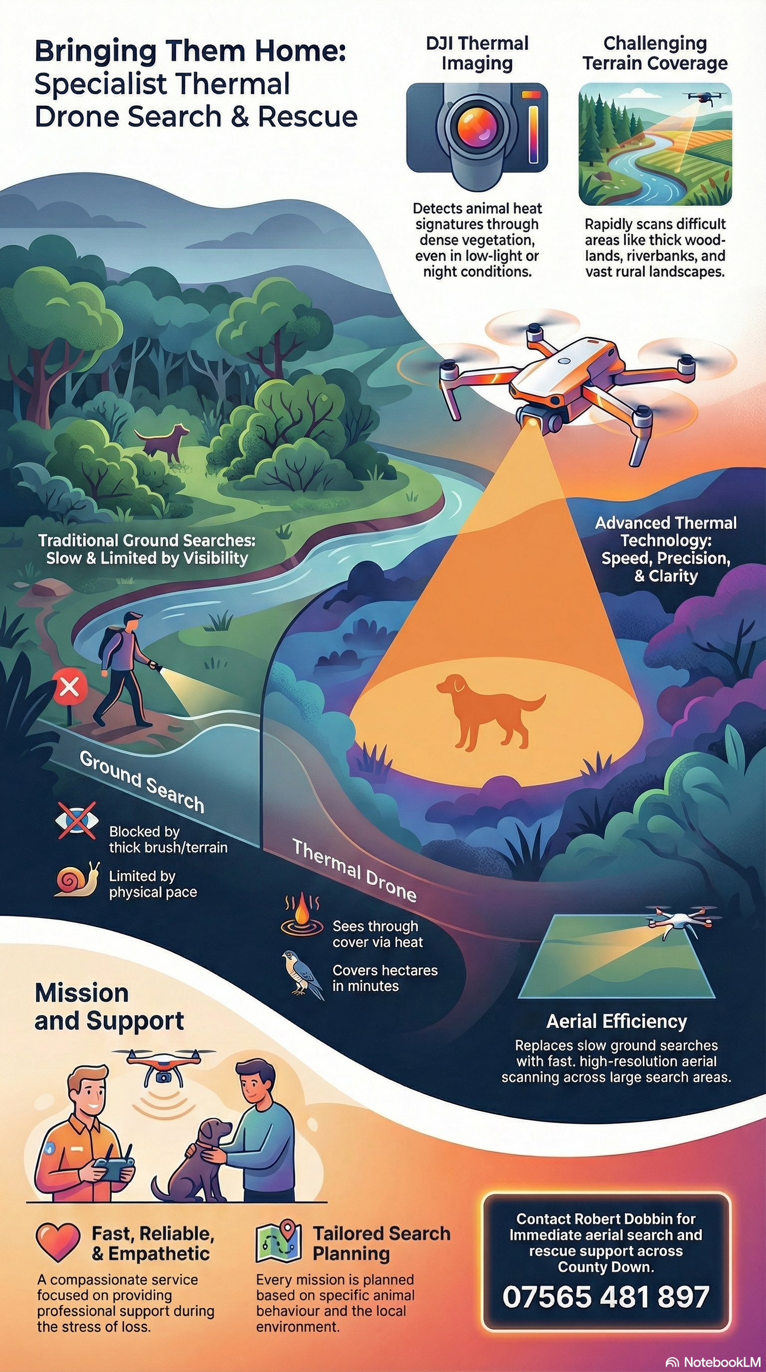
Instant temperature readings and live thermal imaging help improve decision-making during inspections and search operations, particularly in low visibility or hard-to-access environments.
This capability is especially useful for roof surveys, property inspections, emergency response support, and voluntary search efforts for missing pets in rural areas across Northern Ireland.
The combination of visual and thermal insight makes it a practical tool for careful, controlled surveys where situational awareness is essential.